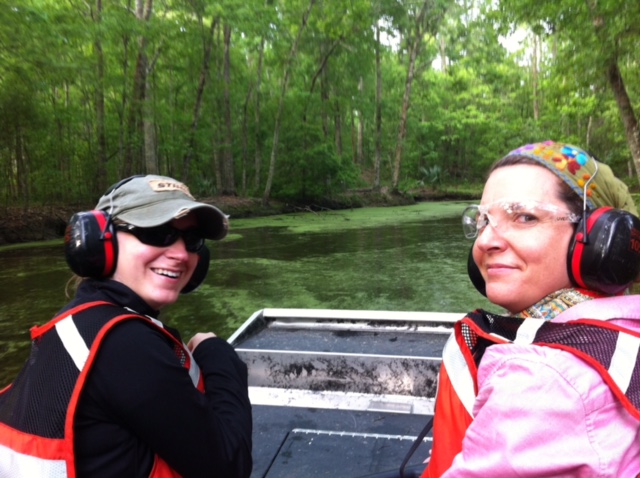
NatureServe is working in collaboration with the National Park Service and US Geological Survey as well as Alabama and Louisiana Natural heritage Programs to build a map of the vegetation commmunities of this park.
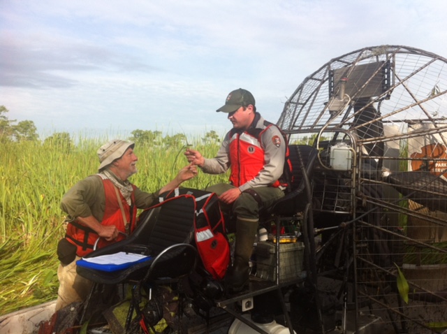
"Jean Lafitte National Historical Park and Preserve is changing very quickly due to a combination of sea level rise and subsidence that is occurring throughout the area now that the Mississippi River is channelized. Therefore the area is sinking, meaning that the vegetation communities are changing very quickly. Our vegetation mapping project will help the park understand what vegetation communities exist in the park and help them manage their lands as these threats continue to intensify", said Rickie White, NatureServe Ecologist.