Our multi-metric approach for assessing condition is based on the Ecological Integrity Assessment framework and is comparable to both the Index of Biotic Integrity (IBI) for aquatic systems and various state-based rapid assessment methods (RAMS) for wetlands.
As with all EIAs, our wetland methods are built around conceptual models that describe the range of natural variability and ecological processes that wetlands depend on, as well as threats to the wetlands. We work through the following steps:
- Select appropriate metrics representing integrity
- Verify critical assessment points or thresholds (metric values that signify an ecological change or need for management action) for the metrics
- Collect data and calculate metric scores
- Summarize the status of the wetland system using a variety of reporting methods
We complete these steps for each level of our 3-level approach, including remote sensing, rapid, and intensive field methods so that methods can be tailored to the needs of the project. We are working with network and agency partners to evaluate a wide range of wetland sites to establish current conditions and to identify benchmark reference wetland sites across the states and nation.
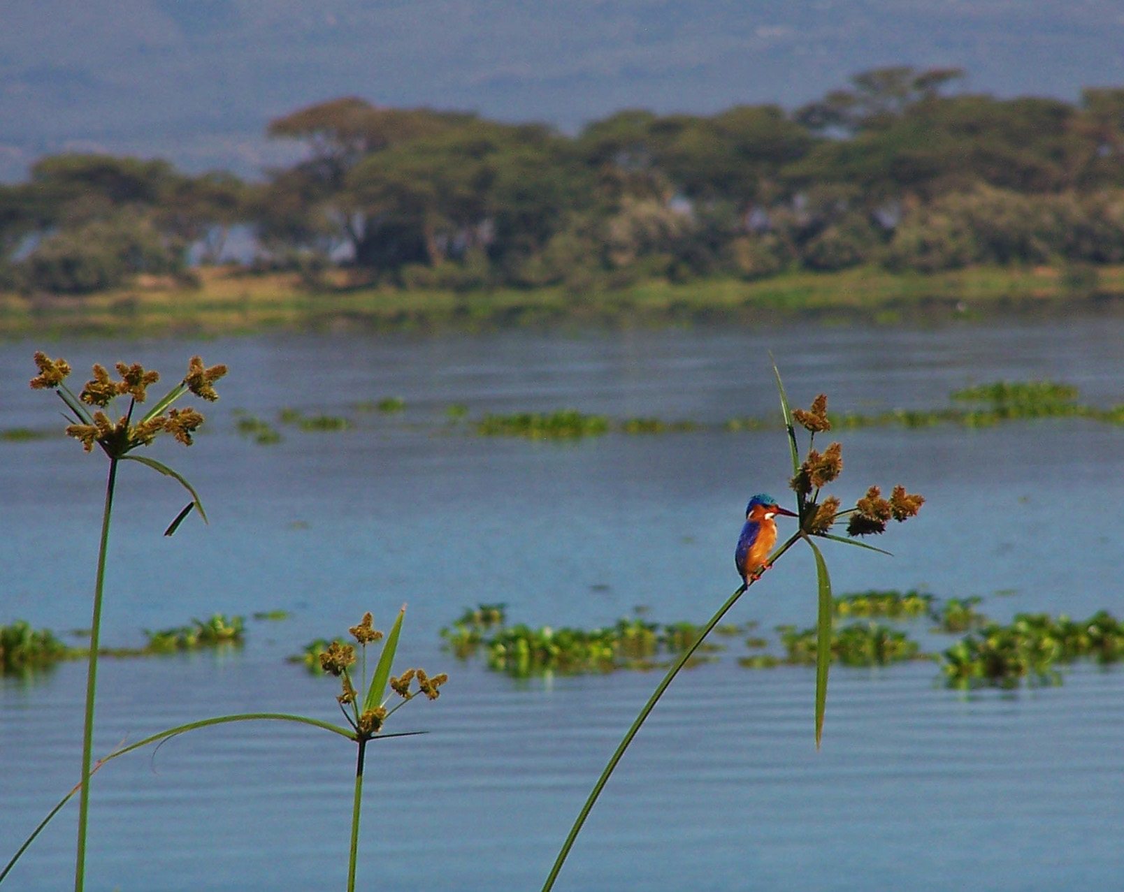
Wetlands comprise a diverse set of ecosystems and provide important ecological functions for wildlife habitat, water quality and other ecosystem services. These functions often depend on maintaining high quality conditions. To effectively assess wetland condition, it is important to compare the structure, composition, and ecological processes of a wetland to the historic and natural structure, composition, and ecological processes of reference ecosystems in similar landscapes. NatureServe has developed conceptual models and identified metrics and thresholds for theses factors for a full range of wetland types. We are working with our Network members to develop remote sensing and field protocols to ensure that these data are collected consistently across the programs and integrated into our standard databases. These data provide the basis for selection of benchmark wetland sites; that is, sites where natural processes are intact and biodiversity values are high. By identifying these benchmark wetland sites, we are able to survey watersheds and regions to determine the full range of wetland conditions. This information helps us prioritize the best remaining wetlands, and identify restoration opportunities.
This work identifies the current condition of wetlands and provides data for monitoring and assessment programs and performance standards for regulatory programs, including wetland mitigation.