Revision of the 1996 Canadian Terrestrial Ecological Framework (CTEF)
NatureServe Canada has assembled a team that will work with the provincial and territorial Ecological Land Classification leads.
The bulk of the CTEF project work will take place during fiscal years 2024-25 and 2025-26, with the project wrap-up in 2026-27.
Total monetary funds committed to the four-year project by Environment and Climate Change Canada are $1.8 million. The provinces and territories will be contributing significant funding through staff time allocated to the project.
What is the CTEF?
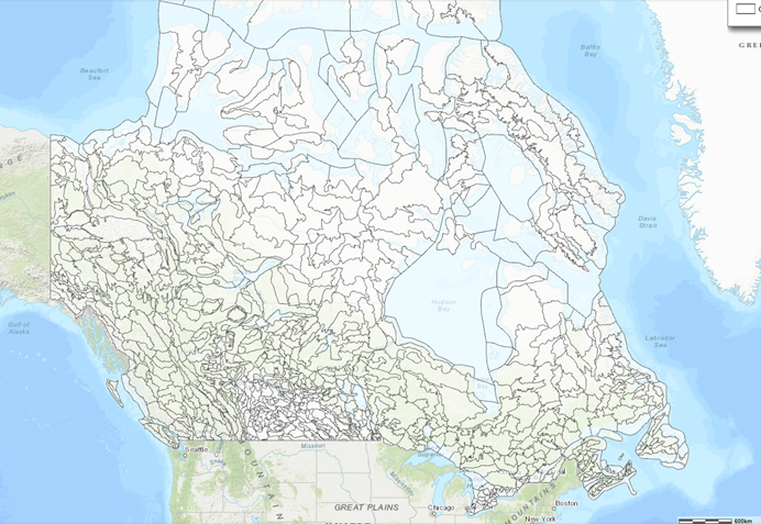
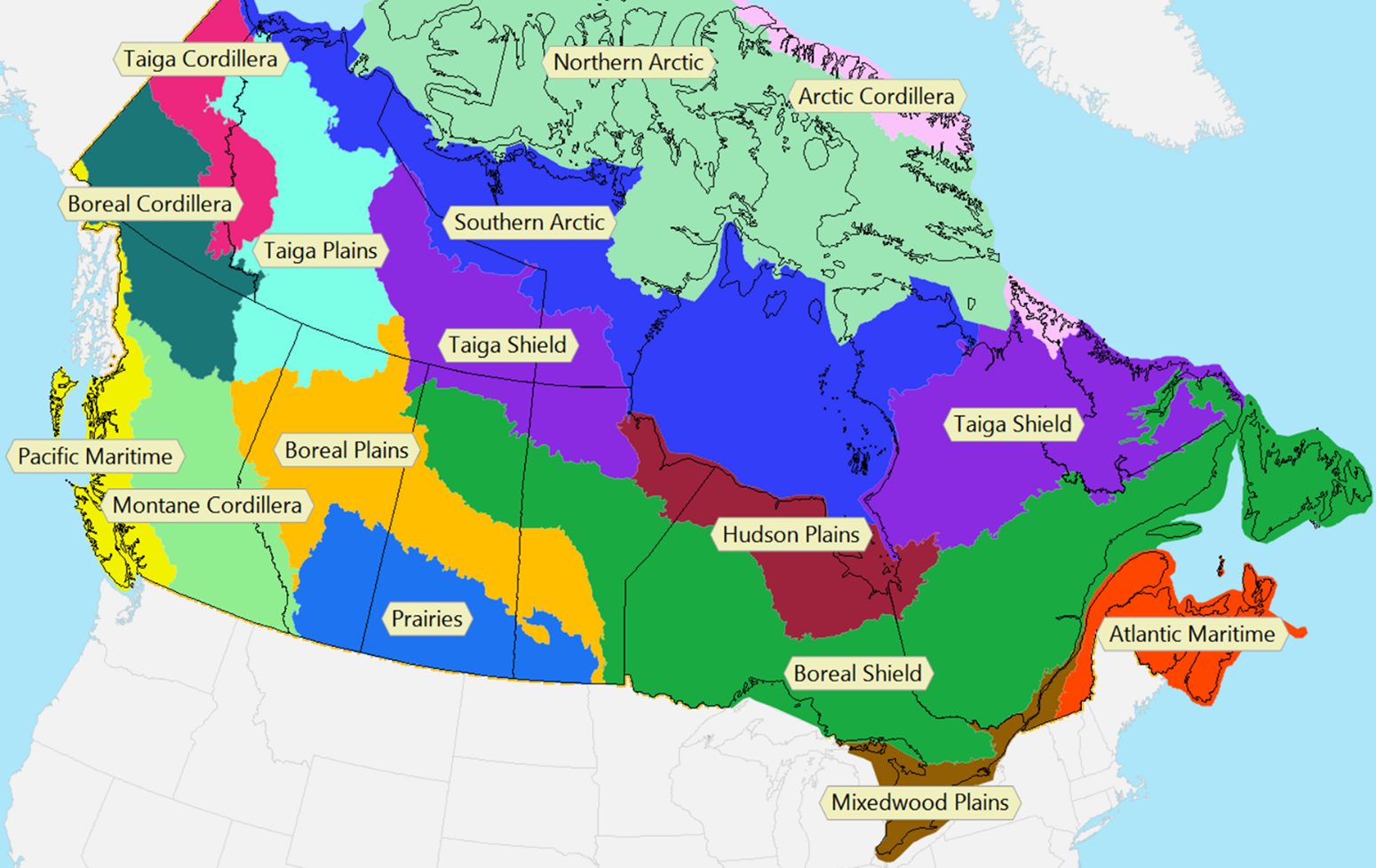
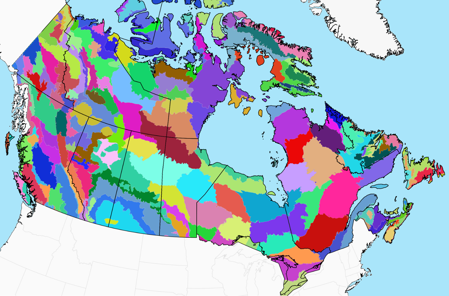
The Canadian Terrestrial Ecological Framework (CTEF) is the name for the nested system of land classification that since 1996 has apportioned the country into a hierarchy of ecosystem units from the broad scale (ecozones), through the mid-scale (ecoregions) to the smaller scale (ecodistricts). There are 15 ecozones, more than 200 ecoregions, and over 1000 ecodistricts in Canada.
Value of the CTEF
The Canadian Terrestrial Ecological Framework (CTEF) has had real value and utility for provincial, territorial, and federal departments and agencies through providing a common spatial framework for evaluating and reporting on issues like biodiversity conservation, climate change, and natural resource management across the country. Educators, NGOs, and researchers have also used it extensively.
What a revised CTEF has to offer to the provinces, territories, and federal government
It has been over 25 years since the first CTEF was created. An updated and revised CTEF will offer each jurisdiction the opportunity to work from a modernized and standardized ecological classification framework. Cross-border information sharing would be facilitated, as would international and national reporting. The federal government would have an up-to-date and effective system for reporting on biodiversity conservation and climate change, as well as other aspects of natural resource management in Canada.
An updated CTEF framework approved by the provincial, territorial, and federal governments will also provide a much-needed national data source to underpin scientific research (e.g., modelling cumulative effects of climate change or impacts on populations of species at risk)
Project Update: February 14, 2024
The NatureServe Canada CTEF Project Team is in the process of finalizing project information for discussion with the provincial and territorial Ecological Land Classification representatives who will participate in the project on behalf of their jurisdiction.
More information will be added to this project page in the coming weeks.
Learn more:
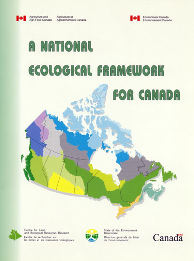
- A National Ecological Framework for Canada 1996 report
- Canadian Council on Ecological Areas Ecozones Introduction
- Ecozones.ca website
- National Ecological Framework spatial layers: federal Open Government website
Ecozones (15)
Ecozones are areas of the earth's surface representative of large and very generalized units characterized by distinctive interacting climatic and biophysical factors. The ecozone defines, on a subcontinental scale, the broad mosaics formed by the interaction of macroscale climate, geology, physiography, soils, and vegetation of the country.
Ecoregions (>200)
Ecoregions are subdivisions of the ecozones characterized by distinctive large order landforms or assemblages of regional landforms, small order macro- or meso-climates, vegetation, soils, and water. The ecoregions constitute the major bridge between the subcontinental scale ecozones and the more localized ecodistricts.
Ecodistricts (>1,000)
Ecodistricts are subdivisions of ecoregions and are characterized by distinctive assemblages of landform, relief, surficial geologic material, soil, water bodies, and vegetation.