NatureServe Canada and its network of Canadian Conservation Data Centres (CDCs) work together and with other government and non-government organizations to develop, manage, and distribute authoritative knowledge regarding Canada’s plants, animals, and ecosystems. Below are some of NatureServe Canada's ongoing projects.
Canadian National Vegetation Classification
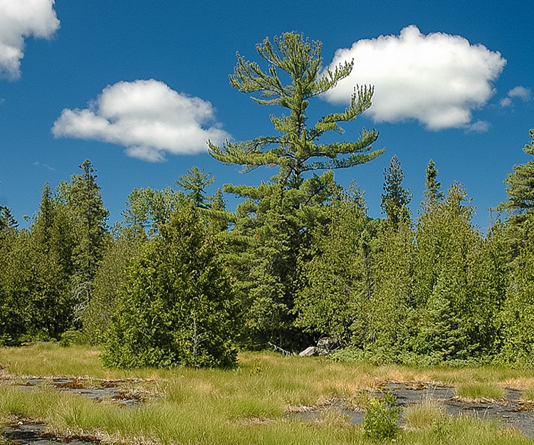
The Canadian National Vegetation Classification (CNVC) is a comprehensive, dynamic catalogue of Canada’s ecosystems, from coastal rainforests and grasslands to arctic tundra. The classification has been developed through a multi-decade collaboration between provincial, territorial and federal governments. NatureServe Canada, NatureServe, and our CNVC partners have enhanced the collaboration through financial support from Environment and Climate Change Canada (2022-2028), with the goal of completing a synthesis of all of Canada’s vegetation types. The CNVC is already sufficiently developed that it is being used to identify at-risk ecosystems and wildlife habitat, support mapping and descriptions of ecoregions (see the Canadian Terrestrial Ecological Framework project), and to help identify Key Biodiversity Areas.

Canada Key Biodiversity Areas
The Canada Key Biodiversity Areas (KBA) project is a multi-partner collaborative project with core activities led by Wildlife Conservation Society Canada, Birds Canada and NatureServe Canada. NatureServe Canada leads on data (for non-bird species) gathering, management, and distribution, and the development of EBAR species range maps. The project is identifying lands that are priorities for biodiversity conservation, offering a scientific basis for Canada to meet its commitment to safeguard 30% of its land and water by 2030. Funding from Environment and Climate Change Canada and the Royal Bank of Canada's Tech for Nature program are supporting NatureServe Canada's work on this project.
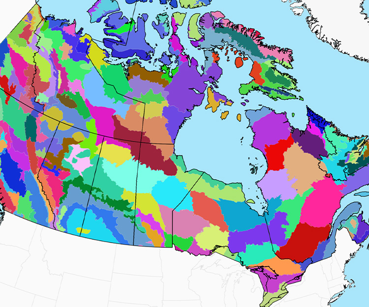
Canadian Terrestrial Ecological Framework
Environment and Climate Change Canada is funding NatureServe Canada to lead a multi-year project (2023-2027) to revise the 1996 Canadian Terrestrial Ecological Framework (CTEF), in collaboration with the provinces and territories. The project consists of three parts: the updating of the framework and maps, the updating of the GIS system underlying and supporting the framework, and a public website to share widely the information coming out of the new framework. NatureServe Canada’s CTEF project team is collaborating with government representatives to develop an improved and modernized framework that meets the needs of each level of government.
Canadian SHM Working Group
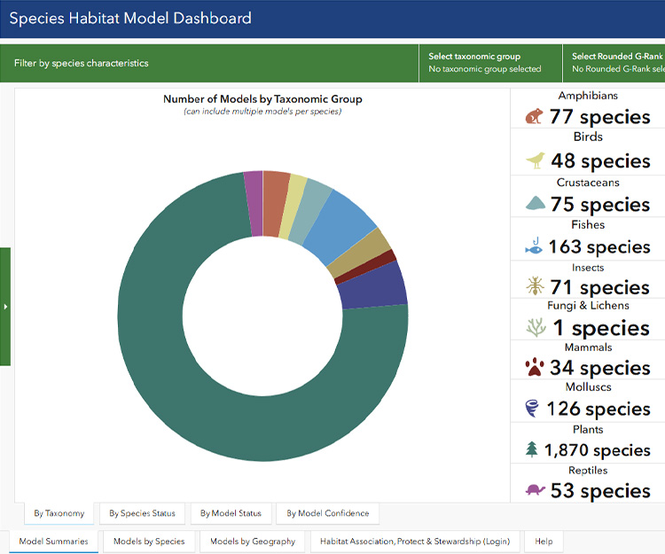
Species Habitat Modeling (SHM) is an ecological approach that predicts where species are likely to occur based on environmental conditions. It uses statistical techniques to identify relationships between species occurrence/observation data and environmental predictors, creating maps that show habitat suitability across landscapes. NatureServe Canada has reconvened a national Canadian SHM Working Group, composed of dozens of organizations and Agencies that have expressed an interest in advancing regional and/or national SHM for priority species.

iNaturalist.ca Citizen Science Platform
In late 2012 the Canadian Wildlife Federation and NatureServe Canada embarked on a mission to develop a citizen science platform that would permit Canadians to report plant and wildlife sightings. After exploring the possibility of creating an entirely new system, iNaturalist.org was approached and a partnership established to create a Canadian gateway to their international citizen science platform. iNaturalist.ca was launched in June 2015, and the Canadian Wildlife Federation, Parks Canada and NatureServe Canada formed a Steering Committee to lead on the governance of iNaturalist Canada.