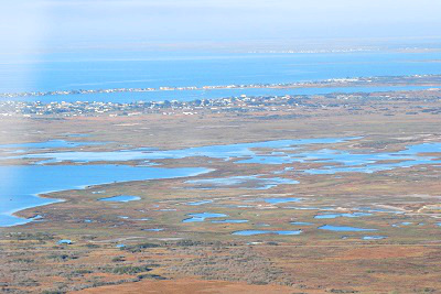
 An integrated land-sea planning approach can help mitigate many of the potential problems associated with increased human activity in coastal communities by addressing the human use of land, freshwater, and marine resources while also working to maintain the integrity of terrestrial, aquatic, and marine/estuarine ecosystems. This approach, however, requires a significant commitment from planners and resource managers to conduct collaborative planning, while also requiring the participation of scientists and technologists (e.g., GIS analysts and database managers). To assist in the integrated planning process, a technological toolkit has been developed to guide ecosystem assessment and planning within and across disciplines and ecosystems. This publication is intended to guide users in the application of the integrated land-sea toolkit and facilitate this type of planning approach. A webinar of the toolkit applied in Puerto Rico is available to view here. See the NatureServe Vista related projects for other integrated land-sea applications. Another related set of guides and webinars is described in the Refuge Vulnerability Assessment and Alternatives page. While the RVAA was produced for USFWS Refuge planning, it is broadly applicable to coastal-marine and terrestrial situations.
Integrated Land-Sea Planning: A Technical Guide to the Integrated Land-Sea Planning Toolkit
NatureServe
Citation
Crist P, Madden K, Varley I, Eslinger D, Walker D, Anderson A, Morehead S, Dunton K. Integrated Land-Sea Planning: Technical Guide to the Integrated Land-Sea Planning Toolkit. EBM Tools Network. www.ebmtools.org