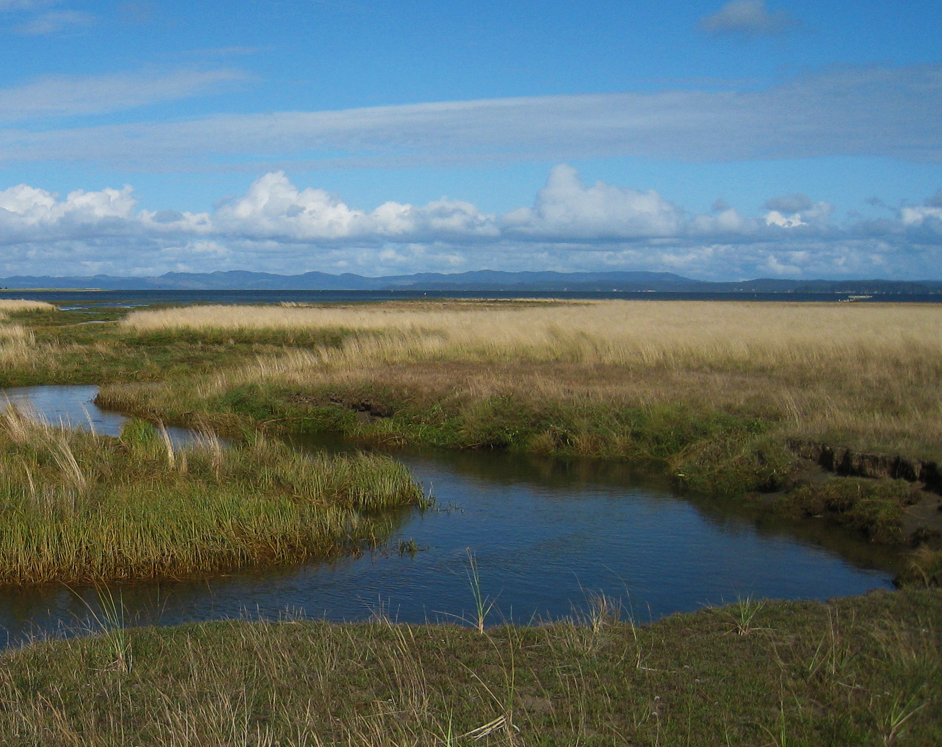
 This project was designed to create an up-to-date and accurate map of the Willapa National Wildlife Refuge vegetation and to determine the health or status of that resource.
Goals for this project were to:
- Determine the status or health (known as ecological condition) of wetland and upland habitats.
- Determine if there are excellent examples of intact native habitats within refuge boundaries that can be used as reference sites for restoration of damaged areas.
- Articulate the relationship between USFWS wildlife habitat types and the U.S. National Vegetation Classification units.
- Use standard U.S. National Vegetation Classification units for the vegetation map and avoid ad hoc map units.
An up-to-date, accurate and standardized vegetation map is a useful tool for land management. This map will be used not only to understand current amount and locations of various habitats, but also to target and prioritize research projects and management activities.
Using U.S. National Vegetation Classification standard units shows how important this refuge is in protecting specific western habitats and allows managers to “roll up” the same habitats across refuges throughout the region and nationwide, so individual refuge assessments can lead to regional and national assessments. An important part of this project is the crosswalk of the many wildlife habitat names USFWS uses to standard National Vegetation Classification units. Using standard classification units allows for comparisons with other mapped areas across the region and the nation, which tells us how well we are protecting and conserving the biodiversity at local, regional and national scales.